ESE NOTES – One Destination for All Competitive Exams
📄 Complete Syllabus • ⏱ Exam Pattern • 📝 PYQs (10+ Years) • 🧠 10K+ Quizzes • 📘 Topic-wise Notes • & More
Covering 50+ Competitive Exams
- 📚 SSC – CGL, CHSL, MTS & More
- 📚 RRB – NTPC, Group D, ALP & More
- 📚 UPSC – CSE, CDS, CAPF & More
- 📚 State PSC – UPPSC, BPSC, MPPSC & More
- 📚 Banking – IBPS PO, SBI Clerk & More
- 📚 ESE/IES – Technical + GS Full Coverage
- 📚 GATE – All Branches Covered
- 📚 More – Popular Exams
0
Students
0
Exams
0
PYQs
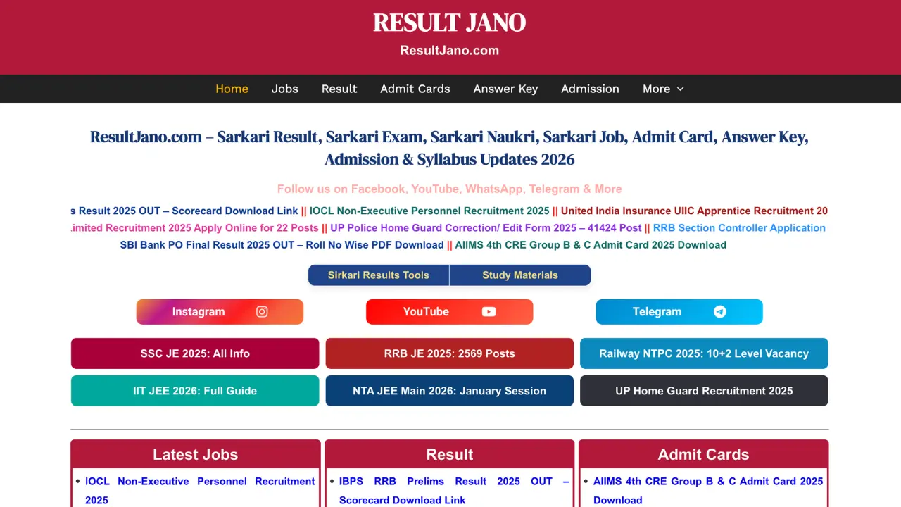
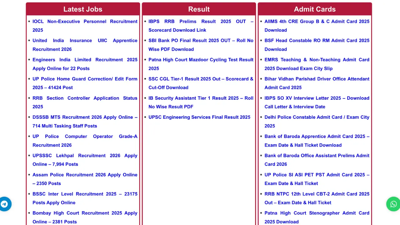
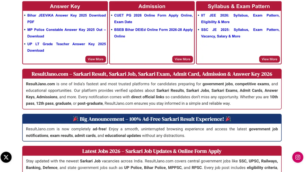
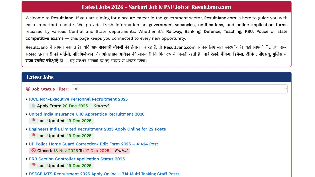
ResultJano.Com
If you’re looking for a website that provides all types of government job updates and exam-related information, then ResultJano.com is your final destination. Whether you are a student, job seeker, or preparing for competitive exams, ResultJano offers the latest notifications, admit cards, results, and much more.
Visit ResultJano.ComIf you want to fill the SSC CGL 2026, then please visit Resultjano.com
SSC CGL 2026 Recruitment – Apply Now for 12,256 Posts


